Fasciculus:USA location map.svg

Size of this PNG preview of this SVG file: 800 × 417 elementa imaginalia. Aliae mensurae: 320 × 167 elementa imaginalia | 640 × 333 elementa imaginalia | 1 024 × 533 elementa imaginalia | 1 280 × 667 elementa imaginalia | 2 560 × 1 333 elementa imaginalia | 1 859 × 968 elementa imaginalia.
Sua resolutio (fasciculus SVG, nominale 1 859 × 968 elementa imaginalia, magnitudo fasciculi: 721 chiliocteti)
Summarium
| Descriptio |
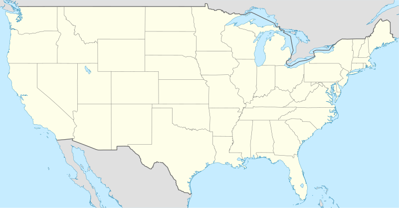
Deutsch: Positionskarte der Vereinigten Staaten („lower 48“)
Quadratische Plattkarte, N-S-Streckung 120 %. Geographische Begrenzung der Karte:
English: Location map of the United States ("lower 48")
Equirectangular projection, N/S stretching 120 %. Geographic limits of the map:
Italiano: Mappa di localizzazione degli Stati Uniti d'America ("lower 48")
Proiezione equirettangolare, stiramento N/S 120 %. Limiti geografici della mappa:
|
| Datum | |
| Fons |
own work, using
|
| Auctor | NordNordWest |
| Other versions |
Derivative works of this file: |

|
This map has been made or improved in the German Kartenwerkstatt (Map Lab). You can propose maps to improve as well.
|
Potestas usoris
I, the copyright holder of this work, hereby publish it under the following licenses:

|
Licet hoc documentum exscribere vel distribuere vel demutare sub GNU Liberarum Litterarum Licentiae conditionibus in editione 1.2 aut in ulla editione recentiori a Fundatione Liberarum Programmationis Partium publicata; praeterquam Sectiones Immutabiles et Verba Involucra Adversa et Aversa. Licentiae exemplar praesto est in sectione intitulata GNU Free Documentation License. |
This file is licensed under the Creative Commons Attribution-Share Alike 3.0 Unported license.
- Tibi licet:
- communicare – copiare, distribuere et committere hoc opus
- to remix – to adapt the work
- His condicionibus:
- attributio – You must give appropriate credit, provide a link to the license, and indicate if changes were made. You may do so in any reasonable manner, but not in any way that suggests the licensor endorses you or your use.
- aequa parte – If you remix, transform, or build upon the material, you must distribute your contributions under the same or compatible license as the original.
Tibi typum permissionis ligere licet.
Historia fasciculi
Presso die vel tempore fasciculum videbis, sicut tunc temporis apparuit.
| Dies/Tempus | Minutio | Dimensiones | Usor | Sententia | |
|---|---|---|---|---|---|
| recentissima | 20:04, 29 Iulii 2008 | | 1 859 × 968 (721 chiliocteti) | NordNordWest | {{Information |Description= {{de|Positionskarte der Vereinigten Staaten}} Quadratische Plattkarte, N-S-Streckung 120 %. Geographische Begrenzung der Karte: * N: 49.8° N * S: 24.2° N * W: 125.5° W * O: 66.5° W {{en|Location m |
Nexus ad fasciculum
Ad hunc fasciculum nectit:
Usus fasciculi per inceptus Vicimediorum
Quae incepta Vici fasciculo utuntur:
- Usus in af.wikipedia.org
- Usus in am.wikipedia.org
- Usus in ar.wikipedia.org
- Usus in arz.wikipedia.org
- Usus in as.wikipedia.org
- Usus in azb.wikipedia.org
- Usus in be-tarask.wikipedia.org
- Саўт-Рывэр
- Нью-Ёрк
- Вашынгтон (акруга Калюмбія)
- Чыкага
- Лос-Анджэлес
- Лас-Вэгас
- Пітсбург (Пэнсыльванія)
- Філадэлфія
- Сіетл
- Г’юстан
- Далас
- Фінікс (Арызона)
- Сан-Антоніё
- Сан-Дыега
- Дэтройт
- Сан-Хасэ (Каліфорнія)
- Індыянапаліс
- Джэксанвіль
- Каламбус
- Калюмбійскі ўнівэрсытэт
- Рэдынг (Пэнсыльванія)
- Тэрарыстычныя акты 11 верасьня 2001 году
- Маўнтын-Вію (Каліфорнія)
- Мэнла-Парк (Каліфорнія)
View more global usage of this file.