Fasciculus:Province of Liege (Belgium) location.svg

Size of this PNG preview of this SVG file: 721 × 600 elementa imaginalia. Aliae mensurae: 289 × 240 elementa imaginalia | 577 × 480 elementa imaginalia | 923 × 768 elementa imaginalia | 1 231 × 1 024 elementa imaginalia | 2 462 × 2 048 elementa imaginalia | 1 136 × 945 elementa imaginalia.
Sua resolutio (fasciculus SVG, nominale 1 136 × 945 elementa imaginalia, magnitudo fasciculi: 202 chiliocteti)
_location.svg)
| Descriptio |
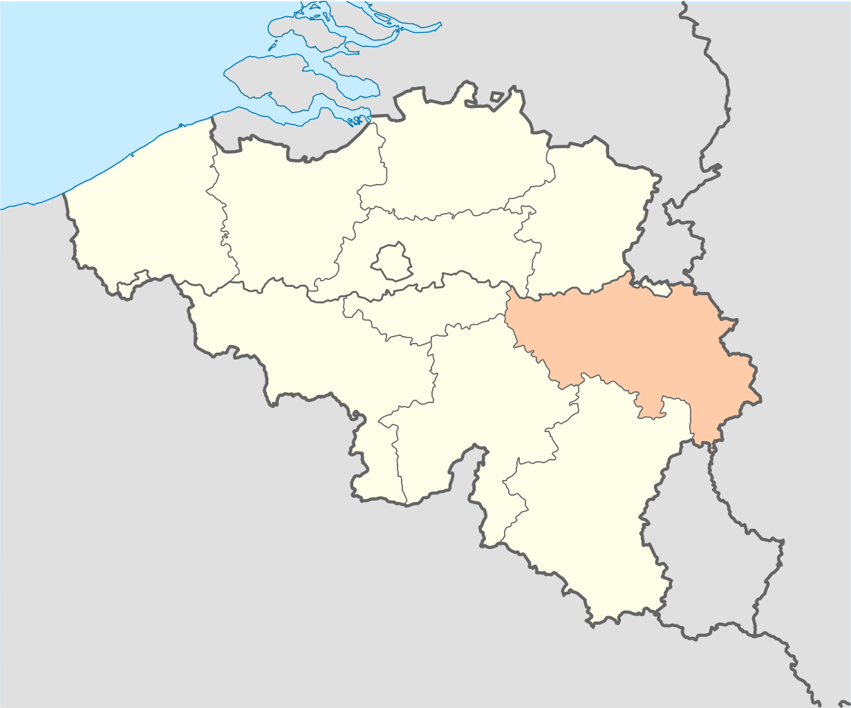
English: Location map of Province of Liege Belgium Equirectangular projection, N/S stretching 150 %. Geographic limits of the map: * N: 51.8° N * S: 49.2° N * W: 2.2° E * E: 6.9° E
Français : Localisation de la province de Liège Belgique Projection equirectangulaire, N/S etirement 150 %. Limites géographiques de la cartes: * N: 51.8° N * S: 49.2° N * W: 2.2° E * E: 6.9° E |
| Datum | (UTC) |
| Fons | |
| Auctor |
|
| This is a retouched picture, which means that it has been digitally altered from its original version. Modifications: Province location. The original can be viewed here: Belgium location map.svg:
|
I, the copyright holder of this work, hereby publish it under the following licenses:
This file is licensed under the Creative Commons Attribution-Share Alike 3.0 Unported license.
- Tibi licet:
- communicare – copiare, distribuere et committere hoc opus
- to remix – to adapt the work
- His condicionibus:
- attributio – You must give appropriate credit, provide a link to the license, and indicate if changes were made. You may do so in any reasonable manner, but not in any way that suggests the licensor endorses you or your use.
- aequa parte – If you remix, transform, or build upon the material, you must distribute your contributions under the same or compatible license as the original.

|
Licet hoc documentum exscribere vel distribuere vel demutare sub GNU Liberarum Litterarum Licentiae conditionibus in editione 1.2 aut in ulla editione recentiori a Fundatione Liberarum Programmationis Partium publicata; praeterquam Sectiones Immutabiles et Verba Involucra Adversa et Aversa. Licentiae exemplar praesto est in sectione intitulata GNU Free Documentation License. |
Tibi typum permissionis ligere licet.
Original upload log
This image is a derivative work of the following images:
- File:Belgium_location_map.svg licensed with Cc-by-sa-3.0, GFDL
- 2008-08-25T18:42:41Z NordNordWest 1136x945 (162981 Bytes) size correction
- 2008-07-09T19:01:26Z NordNordWest 379x315 (159888 Bytes) {{Information |Description= {{de|Positionskarte von [[:de:Belgien|Belgien]]}} Quadratische Plattkarte, N-S-Streckung 150 %. Geographische Begrenzung der Karte: * N: 51.8° N * S: 49.2° N * W: 2.2° O * O: 6.9° O {{en|Locati
Uploaded with derivativeFX
Historia fasciculi
Presso die vel tempore fasciculum videbis, sicut tunc temporis apparuit.
| Dies/Tempus | Minutio | Dimensiones | Usor | Sententia | |
|---|---|---|---|---|---|
| recentissima | 20:57, 16 Aprilis 2009 | | 1 136 × 945 (202 chiliocteti) | Corent1~commonswiki | {{Information |Description={{en|Location map of Province of Liege Belgium}} Equirectangular projection, N/S stretching 150 %. Geographic limits of the map: * N: 51.8° N * S: 49.2° N * W: 2.2° E * E: 6.9° E {{fr|Localisation de la prov |
Nexus ad fasciculum
Ad hunc fasciculum nectit:
Usus fasciculi per inceptus Vicimediorum
Quae incepta Vici fasciculo utuntur:
- Usus in af.wikipedia.org
- Usus in ar.wikipedia.org
- Usus in be-tarask.wikipedia.org
- Usus in be.wikipedia.org
- Usus in bs.wikipedia.org
- Usus in cs.wikipedia.org
- Usus in fa.wikipedia.org
- Usus in fr.wikipedia.org
- Usus in hy.wikipedia.org
- Usus in ja.wikipedia.org
- Usus in ko.wikipedia.org
- Usus in pcd.wikipedia.org
- Usus in ro.wikipedia.org
- Usus in ru.wikipedia.org
- Usus in simple.wikipedia.org
- Usus in sk.wikipedia.org
- Usus in uk.wikipedia.org
_location.svg)