Fasciculus:Nepal adm location map.svg

Sua resolutio (fasciculus SVG, nominale 1 100 × 721 elementa imaginalia, magnitudo fasciculi: 403 chiliocteti)
Summarium
| Descriptio |
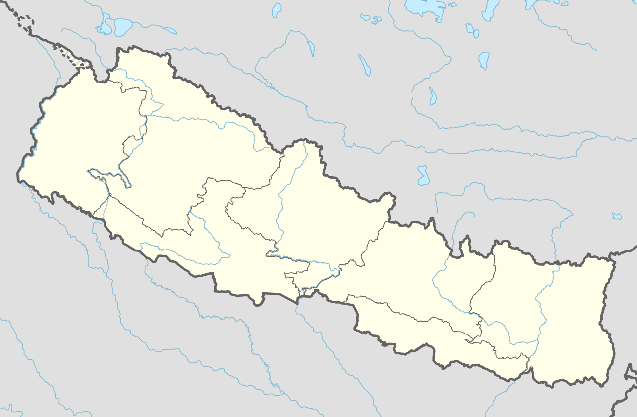
Deutsch: Positionskarte von Nepal
English: Location map of Nepal including the 7 provinces
|
||||||||||||
| Datum | |||||||||||||
| Fons |
Own work using:
|
||||||||||||
| Auctor | NordNordWest | ||||||||||||
| Other versions |
|
||||||||||||


|
This map has been made or improved in the German Kartenwerkstatt (Map Lab). You can propose maps to improve as well.
|
Potestas usoris
Usage of this file with:

explanatory notes: Legally binding is only the full legalcode. For a free usage I recommend to respect the following licence conditions:
1. Provide my name as given above: NordNordWest,
2. a copy of, or the URI for, the applicable license: https://creativecommons.org/licenses/by-sa/3.0/de/legalcode,
3. the title of the work,
4. in the case of an adaptation, a credit identifying the use of the work in the adaptation.
This license and the rights granted hereunder will terminate automatically upon any breach by you of the terms of this license. Any of the above conditions can be waived if you get permission from the copyright holder. If you have questions or wish differing conditions, please contact me through nnwest or my discussion page ![]() t-online.de
t-online.de
- Tibi licet:
- communicare – copiare, distribuere et committere hoc opus
- to remix – to adapt the work
- His condicionibus:
- attributio – You must give appropriate credit, provide a link to the license, and indicate if changes were made. You may do so in any reasonable manner, but not in any way that suggests the licensor endorses you or your use.
- aequa parte – If you remix, transform, or build upon the material, you must distribute your contributions under the same or compatible license as the original.

Historia fasciculi
Presso die vel tempore fasciculum videbis, sicut tunc temporis apparuit.
| Dies/Tempus | Minutio | Dimensiones | Usor | Sententia | |
|---|---|---|---|---|---|
| recentissima | 17:59, 2 Iunii 2020 | | 1 100 × 721 (403 chiliocteti) | NordNordWest | corr |
| 17:13, 22 Martii 2020 |  | 1 100 × 721 (401 chiliocteti) | NordNordWest | corr | |
| 16:50, 20 Novembris 2019 |  | 1 100 × 721 (398 chiliocteti) | NordNordWest | corr | |
| 21:07, 2 Iunii 2018 |  | 1 100 × 721 (399 chiliocteti) | NordNordWest | == {{int:filedesc}} == {{Information |description= {{de|1=Positionskarte von Nepal}} {{en|1=Location map of Nepal}} {{Location map series N |stretching=114 |top=31.0 |bottom=26.0 |left=79.8 |right=88.5 }} |source={{Own using}} * United States National Imagery and Mapping Agency data |date=2018-06-02 |author={{U|NordNordWest}} |permission= |other_versions= }} {{Kartenwerkstatt}} == {{int:license-header}} == {{User:NordNordWest/LicenceMap}} Category:Location maps of Asia (series N) [[Cate... |
Nexus ad fasciculum
Ad hunc fasciculum nectunt:
Usus fasciculi per inceptus Vicimediorum
Quae incepta Vici fasciculo utuntur:
- Usus in ab.wikipedia.org
- Usus in af.wikipedia.org
- Usus in an.wikipedia.org
- Usus in azb.wikipedia.org
- Usus in az.wikipedia.org
- Usus in ban.wikipedia.org
- Usus in bcl.wikipedia.org
- Usus in be.wikipedia.org
- Usus in bg.wikipedia.org
- Usus in bh.wikipedia.org
View more global usage of this file.