Fasciculus:Mexico location map.svg

Size of this PNG preview of this SVG file: 800 × 522 elementa imaginalia. Aliae mensurae: 320 × 209 elementa imaginalia | 640 × 418 elementa imaginalia | 1 024 × 668 elementa imaginalia | 1 280 × 835 elementa imaginalia | 2 560 × 1 670 elementa imaginalia | 2 028 × 1 323 elementa imaginalia.
Sua resolutio (fasciculus SVG, nominale 2 028 × 1 323 elementa imaginalia, magnitudo fasciculi: 600 chiliocteti)
Summarium
| Descriptio |
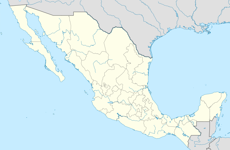
Deutsch: Positionskarte von Mexiko
Quadratische Plattkarte, N-S-Streckung 110 %. Geographische Begrenzung der Karte:
Español: Mapa de la ubicación de México
Proyección equirectangular, N / S se extiende al 110 %. Límites geográficos del mapa:
English: Location map of Mexico
Equirectangular projection, N/S stretching 110 %. Geographic limits of the map:
Հայերեն: Մեքսիկայի տեղորոշման քարտեզ
Ուղղանկյուն պրոյեկցիա, Հյուսիս-Հարավ ձգվածությունը՝ 110%։ Քարտեզում աշխարհագրական սահմանները.
|
| Datum | 11-03-2009 |
| Fons |
own work, using
|
| Auctor | NordNordWest |
| Other versions |
Derivative works of this file: Islands of Mexico.svg
|


|
This map has been made or improved in the German Kartenwerkstatt (Map Lab). You can propose maps to improve as well.
|
Potestas usoris
I, the copyright holder of this work, hereby publish it under the following licenses:

|
Licet hoc documentum exscribere vel distribuere vel demutare sub GNU Liberarum Litterarum Licentiae conditionibus in editione 1.2 aut in ulla editione recentiori a Fundatione Liberarum Programmationis Partium publicata; praeterquam Sectiones Immutabiles et Verba Involucra Adversa et Aversa. Licentiae exemplar praesto est in sectione intitulata GNU Free Documentation License. |
This file is licensed under the Creative Commons Attribution 3.0 Unported license.
- Tibi licet:
- communicare – copiare, distribuere et committere hoc opus
- to remix – to adapt the work
- His condicionibus:
- attributio – You must give appropriate credit, provide a link to the license, and indicate if changes were made. You may do so in any reasonable manner, but not in any way that suggests the licensor endorses you or your use.
Tibi typum permissionis ligere licet.
Historia fasciculi
Presso die vel tempore fasciculum videbis, sicut tunc temporis apparuit.
| Dies/Tempus | Minutio | Dimensiones | Usor | Sententia | |
|---|---|---|---|---|---|
| recentissima | 14:04, 24 Iulii 2012 | | 2 028 × 1 323 (600 chiliocteti) | NordNordWest | upd |
| 18:34, 11 Martii 2009 |  | 2 029 × 1 326 (861 chiliocteti) | NordNordWest | {{Information |Description= {{de|Positionskarte von Mexiko}} Quadratische Plattkarte, N-S-Streckung 110 %. Geographische Begrenzung der Karte: * N: 33.3° N * S: 14.2° N * W: 118.5° W * O: 86.3° W {{en|Location map of [[:en:Mexico|Mexico |
Nexus ad fasciculum
Ad hunc fasciculum nectit:
Usus fasciculi per inceptus Vicimediorum
Quae incepta Vici fasciculo utuntur:
- Usus in af.wikipedia.org
- Usus in als.wikipedia.org
- Usus in an.wikipedia.org
- Ciudat de Mexico
- Tequixquiac
- Pachuca de Soto
- Apaxco
- Apaxco de Ocampo
- Acapulco de Juárez
- Jaltenco
- Zumpango (municipio)
- Nextlalpan
- Hueypoxtla (municipio)
- Naucalpan de Juárez
- Amecameca
- Tijuana (municipio)
- Acambay
- Toluca (municipio)
- Acolman
- Tonanitla
- Atizapán de Zaragoza
- Ecatepec de Morelos
- Tecate (municipio)
- Mexicali (municipio)
- Playas de Rosarito
- Municipio de Ensenada (Baixa California)
- Atlacomulco
- Aculco
- Ixtapaluca
View more global usage of this file.