Fasciculus:Maria-Theresien-Platz in Wien.jpg
Nulla maior resolutio exstat.
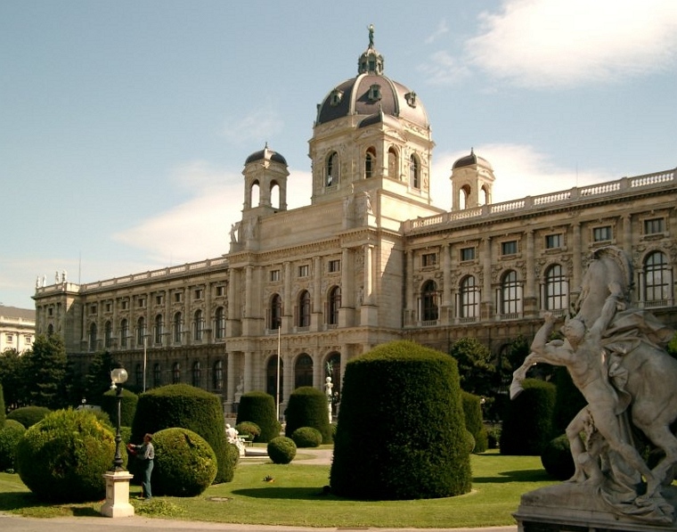
Maria-Theresien-Platz_in_Wien.jpg (760 × 597 elementa imaginalia, magnitudo fasciculi: 202 chiliocteti, typus MIME: image/jpeg)
| Descriptio |
de-Wikipedia: selbstfotografiert / 2003-09 / Lizenz: GNU FDL |
||||||||
| Datum | |||||||||
| Fons | first upload in de wikipedia on 20:44, 30. Aug 2004 by Stern | ||||||||
| Auctor | Stern | ||||||||
| Permissio (Reusing this file) |
|

| Camera location | | View this and other nearby images on: OpenStreetMap |
|---|
| Object location | | View this and other nearby images on: OpenStreetMap |
|---|
Historia fasciculi
Presso die vel tempore fasciculum videbis, sicut tunc temporis apparuit.
| Dies/Tempus | Minutio | Dimensiones | Usor | Sententia | |
|---|---|---|---|---|---|
| recentissima | 15:13, 13 Octobris 2007 | | 760 × 597 (202 chiliocteti) | Berthold Werner | Perspektive korrigiert |
| 14:00, 5 Aprilis 2006 |  | 800 × 600 (95 chiliocteti) | Briséis~commonswiki | * Maria-Theresien-Platz, Vienna, Austria * Author: Stern, picture taken 2003-09 |
Nexus ad fasciculum
Ad hunc fasciculum nectunt:
Usus fasciculi per inceptus Vicimediorum
Quae incepta Vici fasciculo utuntur:
- Usus in de.wikipedia.org
- Benutzer:Stern/Galerie
- Wikipedia:Kandidaten für exzellente Bilder/Archiv2005/3
- Wikipedia:WikiProjekt Wien/Bild der Woche
- Wikipedia:Kandidaten für exzellente Bilder/Archiv2006/20
- Diskussion:Wiener Ringstraße
- Die Malkunst
- Burgring
- Wikipedia:Wiki Loves Monuments Österreich/Tagdesdenkmals 2011/Wien
- Wikipedia:Wiki Loves Monuments Österreich/Tagdesdenkmals 2014/Wien
- Wikipedia:Hauptseite/Archiv/17. Oktober 2011
- Wikipedia:Wiki Loves Monuments Österreich/Tagdesdenkmals 2015/Wien
- Wikipedia:Wiki Loves Monuments Österreich/Tagdesdenkmals 2016/Wien
- Wikipedia:Hauptseite/Archiv/17. Oktober 2016
- Wikipedia:Wiki Loves Monuments Österreich/Tagdesdenkmals 2017/Wien
- Wikipedia:Wiki Loves Monuments Österreich/Tagdesdenkmals 2018/Wien
- Usus in de.wikinews.org
- Usus in es.wikipedia.org
- Usus in fr.wikipedia.org
- Usus in fr.wikivoyage.org
- Usus in gag.wikipedia.org
- Usus in he.wikiquote.org
- Usus in hif.wikipedia.org
- Usus in hr.wikipedia.org
- Usus in hu.wikipedia.org
- Usus in hy.wikipedia.org
- Usus in it.wikipedia.org
- Usus in ja.wikipedia.org
- Usus in ka.wikipedia.org
- Usus in kk.wikipedia.org
- Usus in lb.wikipedia.org
- Usus in lt.wikipedia.org
- Usus in mk.wikipedia.org
- Usus in no.wikipedia.org
- Usus in pl.wikipedia.org
- Usus in pms.wikipedia.org
- Usus in pt.wikipedia.org
- Usus in ro.wikipedia.org
- Usus in ru.wikipedia.org
- Usus in sh.wikipedia.org
View more global usage of this file.