Fasciculus:Mapa loc Tarapacá.svg

Size of this PNG preview of this SVG file: 400 × 600 elementa imaginalia. Aliae mensurae: 160 × 240 elementa imaginalia | 320 × 480 elementa imaginalia | 512 × 768 elementa imaginalia | 682 × 1 024 elementa imaginalia | 1 365 × 2 048 elementa imaginalia.
Sua resolutio (fasciculus SVG, nominale 400 × 600 elementa imaginalia, magnitudo fasciculi: 1.13 megaocteti)
| Descriptio |
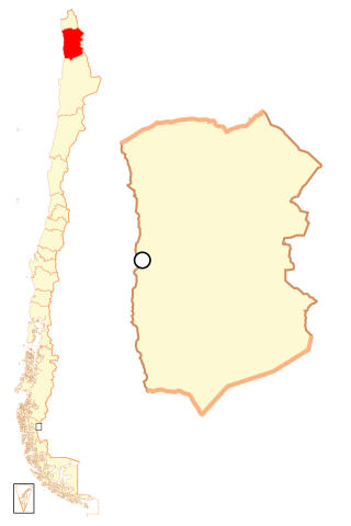
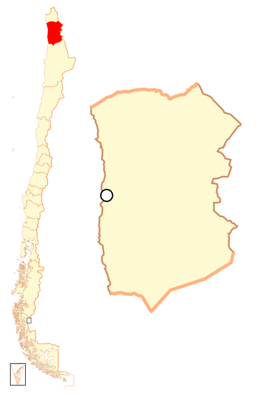
Español: Mapa localizador de la I Región de Tarapacá. |
||
| Datum | |||
| Fons |
Opus proprium
|
||
| Auctor | Osmar Valdebenito | ||
| Permissio (Reusing this file) |
Osmar Valdebenito, the copyright holder of this work, hereby publishes it under the following license: This file is licensed under the Creative Commons Attribution-Share Alike 2.5 Generic license. Attributio: Osmar Valdebenito
|
Historia fasciculi
Presso die vel tempore fasciculum videbis, sicut tunc temporis apparuit.
| Dies/Tempus | Minutio | Dimensiones | Usor | Sententia | |
|---|---|---|---|---|---|
| recentissima | 22:50, 5 Septembris 2018 | | 400 × 600 (1.13 megaocteti) | Janitoalevic | Ñuble Region |
| 23:15, 20 Augusti 2017 |  | 400 × 600 (1 024 chiliocteti) | Janitoalevic | Reverted to version as of 02:02, 6 October 2007 (UTC) | |
| 04:26, 20 Augusti 2017 |  | 400 × 600 (1.06 megaocteti) | Janitoalevic | Added Ñuble Region | |
| 02:02, 6 Octobris 2007 |  | 400 × 600 (1 024 chiliocteti) | B1mbo | {{Information |Description= {{es|Mapa localizador de la I Región de Tarapacá}} |Source=own work |Date=5 de octubre, 2007 |Author=B1mbo |Permission={{self|cc-by-sa-2.5}} |other_versions= }} {{User:B1mbo/Chile |
Nexus ad fasciculum
Nullae paginae hoc fasciculo utuntur.
Usus fasciculi per inceptus Vicimediorum
Quae incepta Vici fasciculo utuntur:
- Usus in ba.wikipedia.org
- Usus in bg.wikipedia.org
- Usus in da.wikipedia.org
- Usus in de.wikipedia.org
- Usus in diq.wikipedia.org
- Usus in en.wikipedia.org
- Usus in es.wikipedia.org
- Usus in eu.wikipedia.org
- Usus in frr.wikipedia.org
- Usus in hr.wikipedia.org
- Usus in ja.wikipedia.org
- Usus in ka.wikipedia.org
- Usus in ko.wikipedia.org
- Usus in lad.wikipedia.org
View more global usage of this file.