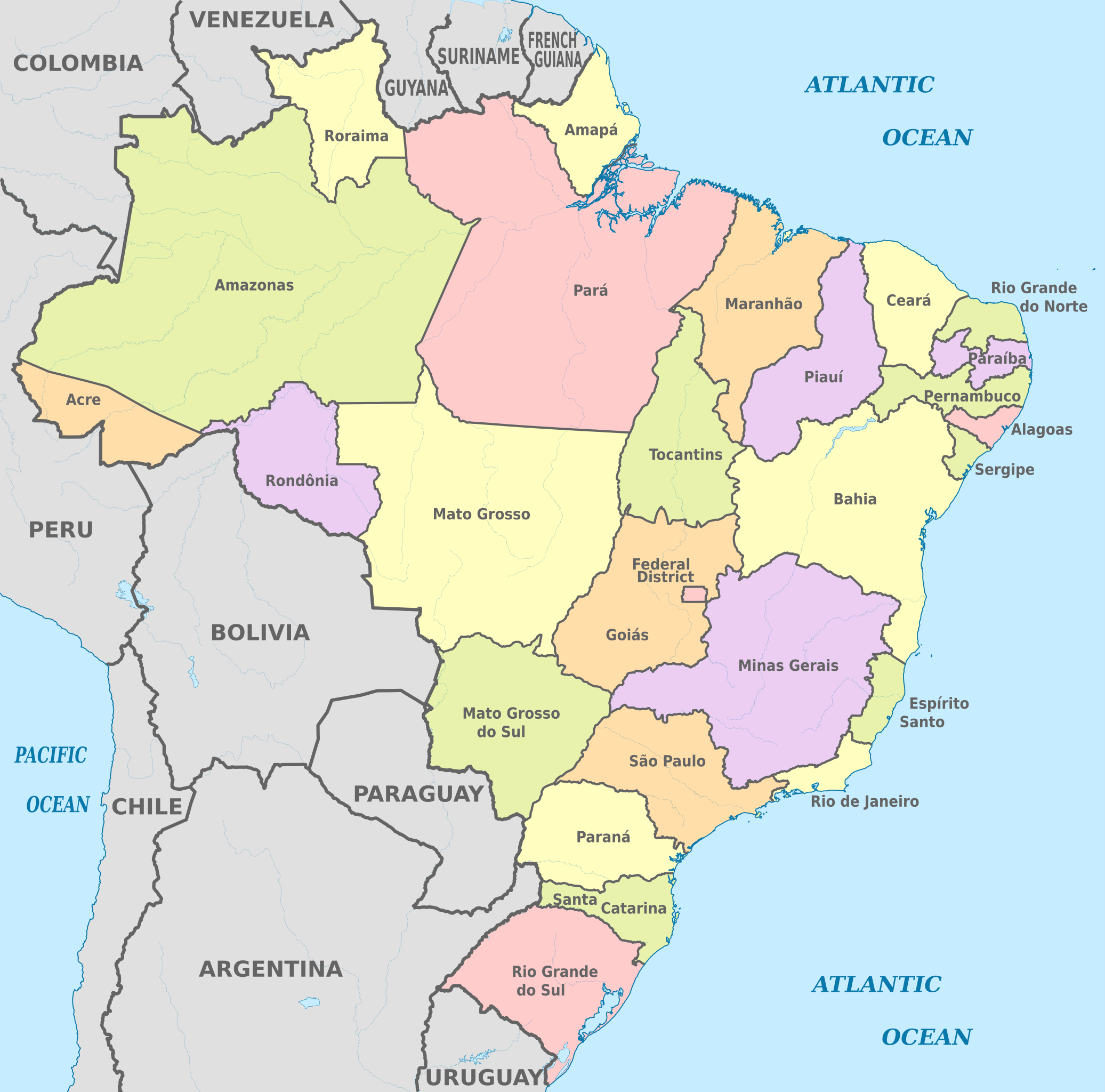
Fasciculus:Brazil, administrative divisions (states) - en - colored.svg

Size of this PNG preview of this SVG file: 607 × 600 elementa imaginalia. Aliae mensurae: 243 × 240 elementa imaginalia | 486 × 480 elementa imaginalia | 777 × 768 elementa imaginalia | 1 036 × 1 024 elementa imaginalia | 2 073 × 2 048 elementa imaginalia | 2 008 × 1 984 elementa imaginalia.
Sua resolutio (fasciculus SVG, nominale 2 008 × 1 984 elementa imaginalia, magnitudo fasciculi: 2.57 megaocteti)
Summarium


.svg)


_(Paris_zoom).svg)
.svg)
,_administrative_divisions_-_de_-_colored_(multizoom).svg)
_-_colored.svg)
.svg)
,_administrative_divisions_-_Nmbrs_(multizoom).svg)
,_administrative_divisions_-_de_-_colored.svg)
_-_de_-_colored.svg)

.svg)

.svg)
_-_en_-_colored.svg)
_-_de_-_colored.svg)
Potestas usoris
I, the copyright holder of this work, hereby publish it under the following license:
This file is licensed under the Creative Commons Attribution-Share Alike 3.0 Unported license.
- Tibi licet:
- communicare – copiare, distribuere et committere hoc opus
- to remix – to adapt the work
- His condicionibus:
- attributio – You must give appropriate credit, provide a link to the license, and indicate if changes were made. You may do so in any reasonable manner, but not in any way that suggests the licensor endorses you or your use.
- aequa parte – If you remix, transform, or build upon the material, you must distribute your contributions under the same or compatible license as the original.

|
I'd greatly appreciate, that you attribute this media file to Wikimedia Commons, if used outside Wikipedia or Commons. For use in publications such as books, newspapers, blogs, websites, please insert here the following line:
|
_-_en_-_colored.svg&action=edit&redlink=1)
Historia fasciculi
Presso die vel tempore fasciculum videbis, sicut tunc temporis apparuit.
| Dies/Tempus | Minutio | Dimensiones | Usor | Sententia | |
|---|---|---|---|---|---|
| recentissima | 10:28, 8 Augusti 2013 | | 2 008 × 1 984 (2.57 megaocteti) | TUBS | |
| 07:38, 7 Augusti 2013 |  | 2 008 × 1 984 (2.57 megaocteti) | TUBS | == {{int:filedesc}} == {{Information |Description={{de|Karte der politischen Gliederung von XY (siehe Dateiname)}} {{en|Map of administrative divisions of XY (see filename)}} |Source={{own}}{{Adobe Illustrator}}{{Commonist}}{{AttribSVG|Brazil, adminis... |
Nexus ad fasciculum
Ad hunc fasciculum nectit:
Usus fasciculi per inceptus Vicimediorum
Quae incepta Vici fasciculo utuntur:
- Usus in ar.wikipedia.org
- Usus in ban.wikipedia.org
- Usus in ba.wikipedia.org
- Usus in be.wikipedia.org
- Usus in el.wikipedia.org
- Usus in en.wikipedia.org
- Usus in en.wiktionary.org
- Usus in eo.wikipedia.org
- Usus in es.wikipedia.org
- Usus in fa.wikipedia.org
- Usus in fi.wikipedia.org
- Bahia
- Minas Gerais
- Pernambuco
- Amazonas (Brasilia)
- Espírito Santo
- Rio de Janeiro (osavaltio)
- Malline:Brasilian osavaltiot
- Rio Grande do Sul
- Rio Grande do Norte
- Mato Grosso
- Santa Catarina
- Mato Grosso do Sul
- Sergipe
- Rondônia
- Alagoas
- Amapá
- Ceará
- Pará
- Paraíba
- Roraima
- Maranhão
- Piauí
- Tocantins
- Acre
- Goiás
- São Paulo (osavaltio)
- Paraná (osavaltio)
- Distrito Federal
- Brasilian osavaltiot
- Pohjoinen alue (Brasilia)
- Koillinen alue (Brasilia)
- Kaakkoinen alue (Brasilia)
- Eteläinen alue (Brasilia)
- Keski-läntinen alue (Brasilia)
View more global usage of this file.
_-_en_-_colored.svg)
_-_en_-_colored.svg)