Fasciculus:Belgium location map.svg

Size of this PNG preview of this SVG file: 689 × 599 elementa imaginalia. Aliae mensurae: 276 × 240 elementa imaginalia | 552 × 480 elementa imaginalia | 883 × 768 elementa imaginalia | 1 177 × 1 024 elementa imaginalia | 2 355 × 2 048 elementa imaginalia | 1 136 × 988 elementa imaginalia.
Sua resolutio (fasciculus SVG, nominale 1 136 × 988 elementa imaginalia, magnitudo fasciculi: 120 chiliocteti)
Summarium
| Descriptio |
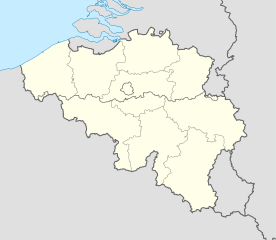
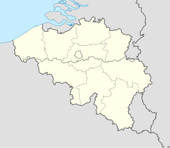
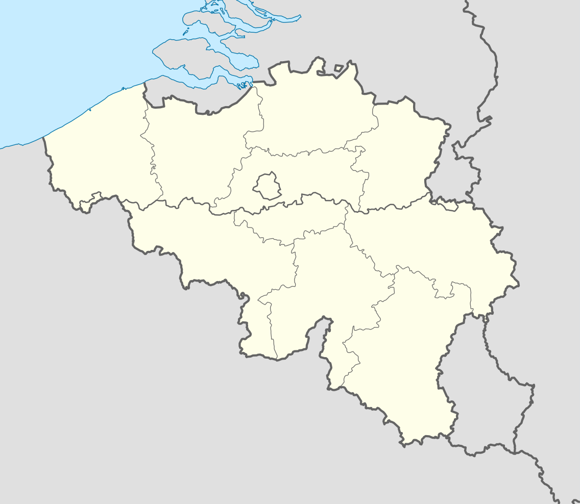
Deutsch: Positionskarte von Belgien
Quadratische Plattkarte, N-S-Streckung 157,218 %. Geographische Begrenzung der Karte:
English: Location map of Belgium
Equirectangular projection, N/S stretching 157.218 %. Geographic limits of the map:
|
||
| Datum | |||
| Fons | Opus proprium (Original text: own work, using United States National Imagery and Mapping Agency data) | ||
| Auctor | NordNordWest | ||
| Other versions |
Derivative works of this file: |
||
| SVG genesis | This locator map was created with Adobe Illustrator by NordNordWest.
|


_location.svg)
_location.svg)
_location.svg)
_location.svg)
Potestas usoris
I, the copyright holder of this work, hereby publish it under the following licenses:

|
Licet hoc documentum exscribere vel distribuere vel demutare sub GNU Liberarum Litterarum Licentiae conditionibus in editione 1.2 aut in ulla editione recentiori a Fundatione Liberarum Programmationis Partium publicata; praeterquam Sectiones Immutabiles et Verba Involucra Adversa et Aversa. Licentiae exemplar praesto est in sectione intitulata GNU Free Documentation License. |
This file is licensed under the Creative Commons Attribution-Share Alike 3.0 Unported license.
- Tibi licet:
- communicare – copiare, distribuere et committere hoc opus
- to remix – to adapt the work
- His condicionibus:
- attributio – You must give appropriate credit, provide a link to the license, and indicate if changes were made. You may do so in any reasonable manner, but not in any way that suggests the licensor endorses you or your use.
- aequa parte – If you remix, transform, or build upon the material, you must distribute your contributions under the same or compatible license as the original.
Tibi typum permissionis ligere licet.
Historia fasciculi
Presso die vel tempore fasciculum videbis, sicut tunc temporis apparuit.
| Dies/Tempus | Minutio | Dimensiones | Usor | Sententia | |
|---|---|---|---|---|---|
| recentissima | 18:26, 23 Septembris 2010 | | 1 136 × 988 (120 chiliocteti) | NordNordWest | upd |
| 18:42, 25 Augusti 2008 |  | 1 136 × 945 (159 chiliocteti) | NordNordWest | size correction | |
| 19:01, 9 Iulii 2008 |  | 379 × 315 (156 chiliocteti) | NordNordWest | {{Information |Description= {{de|Positionskarte von Belgien}} Quadratische Plattkarte, N-S-Streckung 150 %. Geographische Begrenzung der Karte: * N: 51.8° N * S: 49.2° N * W: 2.2° O * O: 6.9° O {{en|Location map of [[:en:Belgium|Belgiu |
Nexus ad fasciculum
Nullae paginae hoc fasciculo utuntur.
Usus fasciculi per inceptus Vicimediorum
Quae incepta Vici fasciculo utuntur:
- Usus in ar.wikipedia.org
- Usus in av.wikipedia.org
- Usus in azb.wikipedia.org
- Usus in ban.wikipedia.org
- Usus in be.wikimedia.org
- Wiki Loves Monuments/website/Photo tour 28 September 2014/lb
- Wiki Loves Monuments/website/Photo tour 28 September 2014/fr
- Wiki Loves Monuments/website/Photo tour 28 September 2014/de
- Wiki Loves Monuments/website/Photo tour 28 September 2014/nl
- Wiki Loves Monuments/website/Photo tour 28 September 2014
- Uitnodiging voor de fototocht Wiki Takes... Leuven op 28 september 2014
- Invitation to the photo tour Wiki Takes... Leuven on 28 September 2014
- Invitation balade photographique Wiki Takes... Louvain, le 28 Septembre 2014
- Usus in bn.wikipedia.org
- Usus in bs.wikipedia.org
- Usus in ca.wikipedia.org
- Usus in ceb.wikipedia.org
View more global usage of this file.