Fasciculus:Australia satellite states.jpg
Mensura huius perspectionis: 800 × 600 elementa imaginalia. Aliae mensurae: 320 × 240 elementa imaginalia | 640 × 480 elementa imaginalia | 1 024 × 768 elementa imaginalia.
Sua resolutio (1 024 × 768 elementa imaginalia, magnitudo fasciculi: 182 chiliocteti, typus MIME: image/jpeg)
Summarium
| Descriptio |
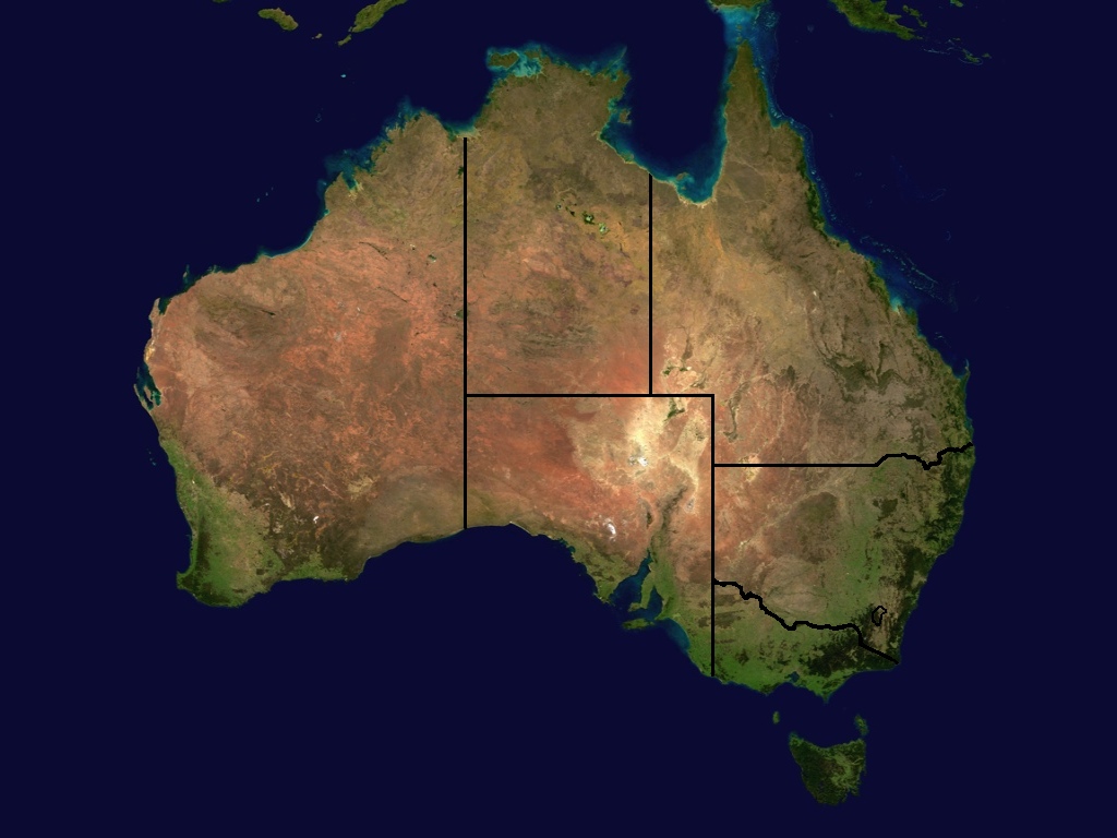
A map of the states and some territories of Australia. A merger of Image:Australia_satellite_plane.jpg and Image:Australia_location_map.png at 1024x768. == Potestas usoris == |
| Datum | (UTC) |
| Fons | |
| Auctor |
|
| This is a retouched picture, which means that it has been digitally altered from its original version. Modifications: Merged state boundaries and satellite imagery. The original can be viewed here: Australia location map.png:
|
This file is licensed under the Creative Commons Attribution-Share Alike 3.0 Unported license.
- Tibi licet:
- communicare – copiare, distribuere et committere hoc opus
- to remix – to adapt the work
- His condicionibus:
- attributio – You must give appropriate credit, provide a link to the license, and indicate if changes were made. You may do so in any reasonable manner, but not in any way that suggests the licensor endorses you or your use.
- aequa parte – If you remix, transform, or build upon the material, you must distribute your contributions under the same or compatible license as the original.
Original upload log
This image is a derivative work of the following images:
- Image:Australia_satellite_plane.jpg licensed with PD-USGov-NASA, PD-USGov-NASA/copyright
- Image:Australia_location_map.png licensed with Cc-by-sa-2.5,2.0,1.0, GFDL
- 2005-10-17T16:51:10Z Diceman 2190x1577 (104422 Bytes) [[Category:Australia]]
Uploaded with derivativeFX
Historia fasciculi
Presso die vel tempore fasciculum videbis, sicut tunc temporis apparuit.
| Dies/Tempus | Minutio | Dimensiones | Usor | Sententia | |
|---|---|---|---|---|---|
| recentissima | 14:46, 22 Iunii 2008 | | 1 024 × 768 (182 chiliocteti) | Harpagon~commonswiki | {{Information |Description=A map of the states and some territories of Australia. A merger of Image:Australia_satellite_plane.jpg and Image:Australia_location_map.png at 1024x768. == Licensing == |Source=*Image:Australia_satellite_plane.jpg |
Nexus ad fasciculum
Nullae paginae hoc fasciculo utuntur.
Usus fasciculi per inceptus Vicimediorum
Quae incepta Vici fasciculo utuntur:
- Usus in avk.wikipedia.org
- Usus in en.wikipedia.org
- Usus in es.wikipedia.org
- Usus in nl.wikipedia.org