Fasciculus:Map of South Africa with provincial borders.svg

Size of this PNG preview of this SVG file: 684 × 599 elementa imaginalia. Aliae mensurae: 274 × 240 elementa imaginalia | 548 × 480 elementa imaginalia | 876 × 768 elementa imaginalia | 1 168 × 1 024 elementa imaginalia | 2 337 × 2 048 elementa imaginalia | 809 × 709 elementa imaginalia.
Sua resolutio (fasciculus SVG, nominale 809 × 709 elementa imaginalia, magnitudo fasciculi: 462 chiliocteti)
W3C-validity not checked.
Summarium
| Descriptio |
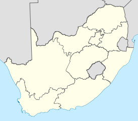
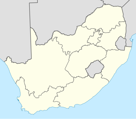
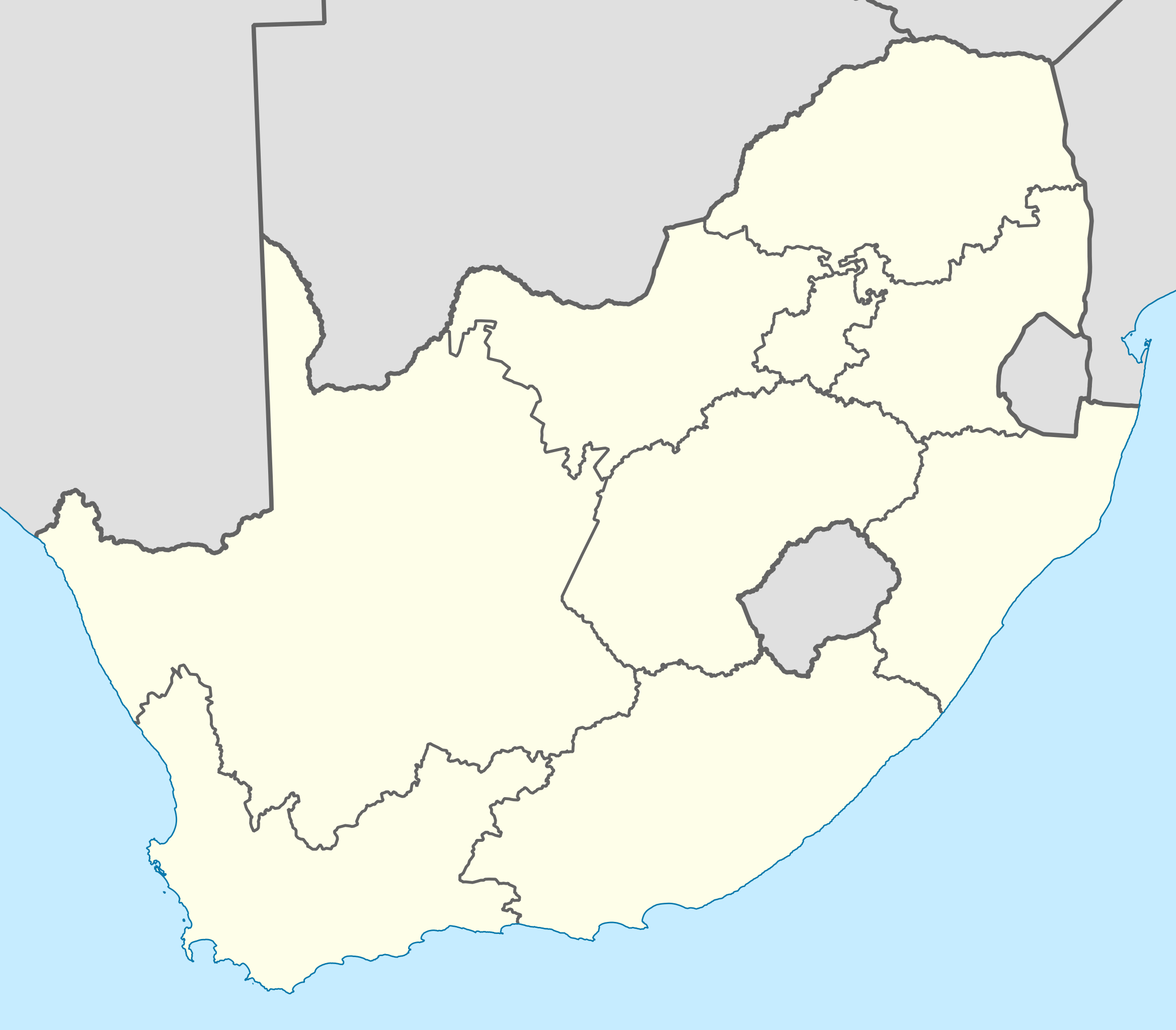
English: Blank map of South Africa, divided into provinces. Provincial boundaries as of 2009, including the border changes by the 12th, 13th and 16th constitutional amendments. Projection: Lambert Conformal Conic with standard parallels at 25.5° S and 31.5° S. |
| Datum | |
| Fons | Opus proprium |
| Auctor | Adrian Frith |
| Other versions |
South Africa blank locator map.svg Derivative works of this file: |
Potestas usoris
I, the copyright holder of this work, hereby publish it under the following licenses:

|
Licet hoc documentum exscribere vel distribuere vel demutare sub GNU Liberarum Litterarum Licentiae conditionibus in editione 1.2 aut in ulla editione recentiori a Fundatione Liberarum Programmationis Partium publicata; praeterquam Sectiones Immutabiles et Verba Involucra Adversa et Aversa. Licentiae exemplar praesto est in sectione intitulata GNU Free Documentation License. |
This file is licensed under the Creative Commons Attribution-Share Alike Attribution-Share Alike 4.0 International, 3.0 Unported, 2.5 Generic, 2.0 Generic and 1.0 Generic license.
- Tibi licet:
- communicare – copiare, distribuere et committere hoc opus
- to remix – to adapt the work
- His condicionibus:
- attributio – You must give appropriate credit, provide a link to the license, and indicate if changes were made. You may do so in any reasonable manner, but not in any way that suggests the licensor endorses you or your use.
- aequa parte – If you remix, transform, or build upon the material, you must distribute your contributions under the same or compatible license as the original.
Tibi typum permissionis ligere licet.
Historia fasciculi
Presso die vel tempore fasciculum videbis, sicut tunc temporis apparuit.
| Dies/Tempus | Minutio | Dimensiones | Usor | Sententia | |
|---|---|---|---|---|---|
| recentissima | 20:44, 22 Aprilis 2011 | | 809 × 709 (462 chiliocteti) | Htonl | tweak |
| 20:21, 22 Aprilis 2011 |  | 809 × 709 (462 chiliocteti) | Htonl | size tweak | |
| 22:52, 29 Novembris 2010 |  | 757 × 660 (337 chiliocteti) | Htonl | style | |
| 18:48, 6 Octobris 2010 |  | 1 071 × 934 (399 chiliocteti) | Htonl | tweak | |
| 18:39, 6 Octobris 2010 |  | 1 071 × 934 (399 chiliocteti) | Htonl | styling | |
| 13:34, 5 Octobris 2010 |  | 1 071 × 934 (278 chiliocteti) | Htonl | tweak | |
| 06:14, 5 Octobris 2010 |  | 1 071 × 934 (438 chiliocteti) | Htonl | {{Information |Description={{en|1=Blank map of South Africa, divided into provinces. Provincial boundaries as of 2009, including the border changes by the 12th, 13th and 16th constitutional amendments. Projection: Lambert Conformal Conic with standard par |
Nexus ad fasciculum
Ad hunc fasciculum nectit:
Usus fasciculi per inceptus Vicimediorum
Quae incepta Vici fasciculo utuntur:
- Usus in af.wikipedia.org
- Usus in ast.wikipedia.org
- Usus in en.wikipedia.org
- Provinces of South Africa
- Demographics of South Africa
- List of South African provinces by population
- List of South African provinces by area
- List of South African provinces by population density
- List of South African provincial capitals
- Premier of North West
- Premier of the Northern Cape
- Premier of the Eastern Cape
- Premier of Mpumalanga
- List of municipalities in South Africa
- Helen Zille
- Districts of South Africa
- ISO 3166-2:ZA
- Vehicle registration plates of South Africa
- Template:SouthAfricaPremiers
- Premier of the Western Cape
- Premier (South Africa)
- Noxolo Kiviet
- Provincial legislature (South Africa)
- Premier of the Free State
- Premier of Gauteng
- Premier of KwaZulu-Natal
- Premier of Limpopo
- Template:Lists of the provinces of South Africa
- List of South African provinces by gross domestic product
- List of South African provinces by gross domestic product per capita
- Template:Labelled Map of South Africa Provinces
- List of South African provinces by Human Development Index
- List of South African provinces by highest point
- Netball League (South Africa)
- David Makhura
- Stanley Mathabatha
- Alan Winde
- List of administrators of former South African provinces
- Refilwe Mtsweni-Tsipane
- Sisi Ntombela
View more global usage of this file.